


*CONTACT US FOR A SPECIAL COUPON CODE!*
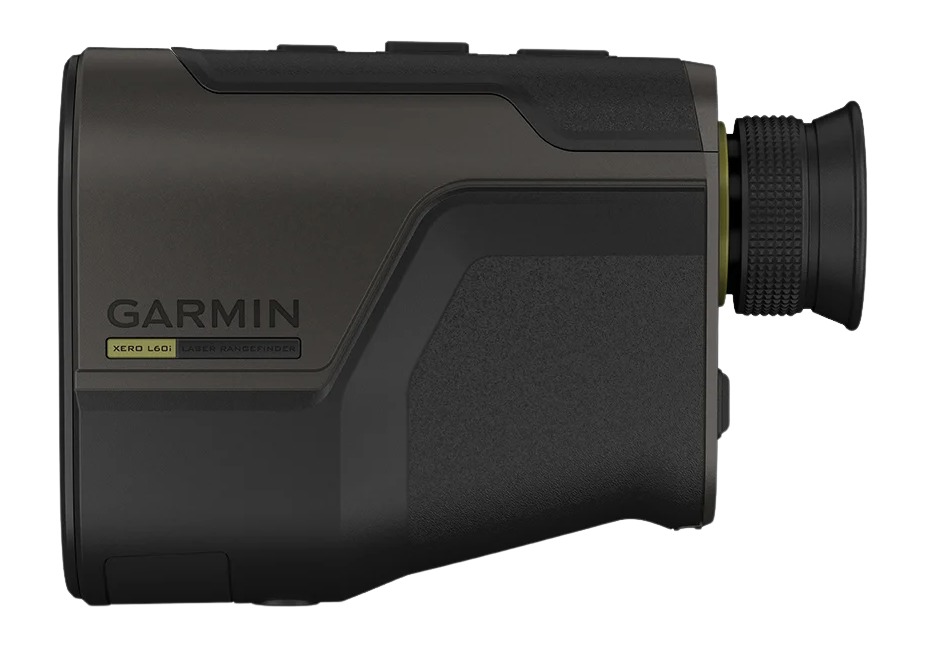
The Garmin Xero® L60i (SKU: 010-02691-00) is a high-end, GNSS-enabled laser rangefinding monocular released in January 2026.
It is a category-defining device because it is the first rangefinder to integrate onboard map-based GPS navigation directly into the optical view. Instead of just seeing a distance number, you see a full-color topographic map and navigation cues overlaid on your target.
Key Performance Specs
| Feature | Specification |
| Max Range (Reflective) | Up to 7,000 meters (7,655 yards) |
| Max Range (Trees) | Up to 3,600 meters (3,937 yards) |
| Max Range (Deer/Game) | Up to 2,775 meters (3,034 yards) |
| Accuracy | $\pm 0.25$ m under 1,000 m; $\pm 1$ m at max distance |
| Magnification | 7x |
| Objective Lens | 32 mm (Low-dispersion glass) |
| Power Source | 2x AAA Lithium batteries (~1,400 ranges) |
| Price | $2,499.99 |
Standout Features
- Digital Mapping & AR Overlay: A high-resolution ($960 \times 540$) multi-color display overlays TopoActive maps, elevation profiles, and compass headings onto your field of view.
- Laser Locate™: When you range a target, the device uses GPS and its compass to "drop" a waypoint at that exact location. You can then navigate to that pin using the on-screen map.
- Sensor Locate: If a target is too far to range with the laser (e.g., several miles away), the device uses its inclinometer and GPS to estimate and project a waypoint.
- Visual Recall: This helps you relocate a previously marked target after you’ve moved to a different vantage point, using on-screen "steering" cues.
- Integrated Ballistics: * Rifle: Includes the Applied Ballistics® Ultralight solver (via AB Quantum app) for long-range holdovers.
- Archery: Provides angle-compensated range, max arrow height, and entry angle.
- Smart Ecosystem: Syncs waypoints via the Garmin Explore™ app to your Garmin smartwatch (like a fēnix) or handheld (like a Montana).


